Fellows
from all eight wards
Summer 2026 field lab · completed work
Twenty-five fellows asked what an AI answer leaves out, then built a public record from history, water science, field observation, and civic action.
 CivicsRemixHumanities for the AI generation
Watershed Series · Summer 2026
CivicsRemixHumanities for the AI generation
Watershed Series · Summer 2026
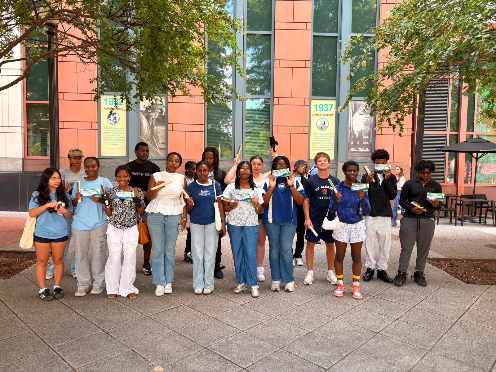
Fellows learning to read the street as civic evidence.
The question
Dennis Chestnut learned to swim in the Anacostia after being barred from Washington’s segregated pools. He now teaches his grandchildren to test the same water. Fellows encountered that history through Jenna Burnett of the Anacostia Watershed Society—and used it to test the limits of an AI answer.
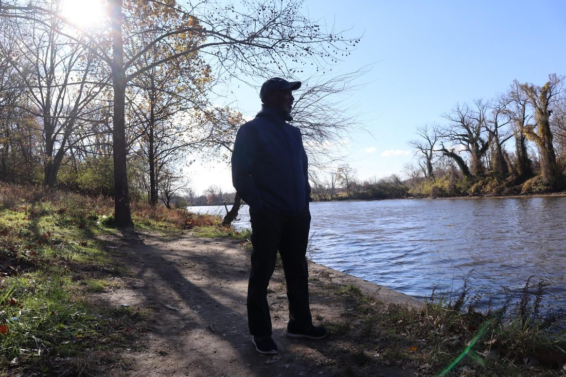
Dennis Chestnut, water advocate and Anacostia community leader.
Photo: Crosslin Silcott / Planet ForwardThe first record of whether Washingtonians can reach the Anacostia on foot when it rains.
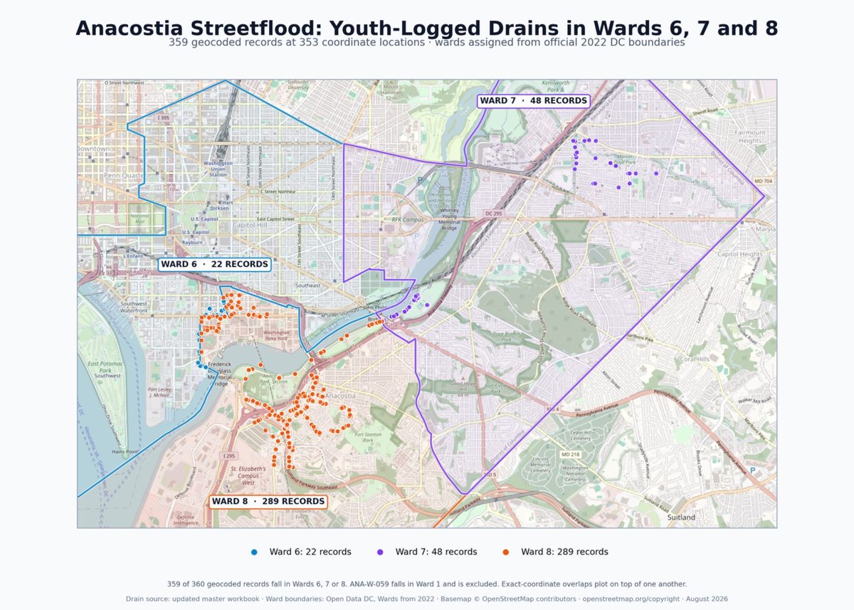
This project maps flood chokepoints on pedestrian routes from three Metro stations (Minnesota Avenue, Anacostia, Navy Yard) to the Anacostia Riverwalk Trail in Wards 6, 7, and 8.
The Anacostia River is the largest recreation ground and the richest habitat for these communities. Reaching it on foot is not a leisure question. It is a health question and an access question. If a rainstorm cuts off the walking route, the park is closed to the people who live beside it.
View the Full StoryMapfrom all eight wards
geolocated from the curb
logged, marked, and shared through Survey123
uploaded to DC Open Data
The Civics Remix method
This summer paired critical AI inquiry with Harkness dialogue, watershed science, and civic practice. The goal was not a better prompt. It was a more accountable public record.
Use the Civics Remix Filters to ask whose story an AI answer leaves out.
Test the answer against history, water science, and what the fellows see on the ground.
Turn evidence into a civic artifact: data, public comment, FOIA, or a finding shared forward.
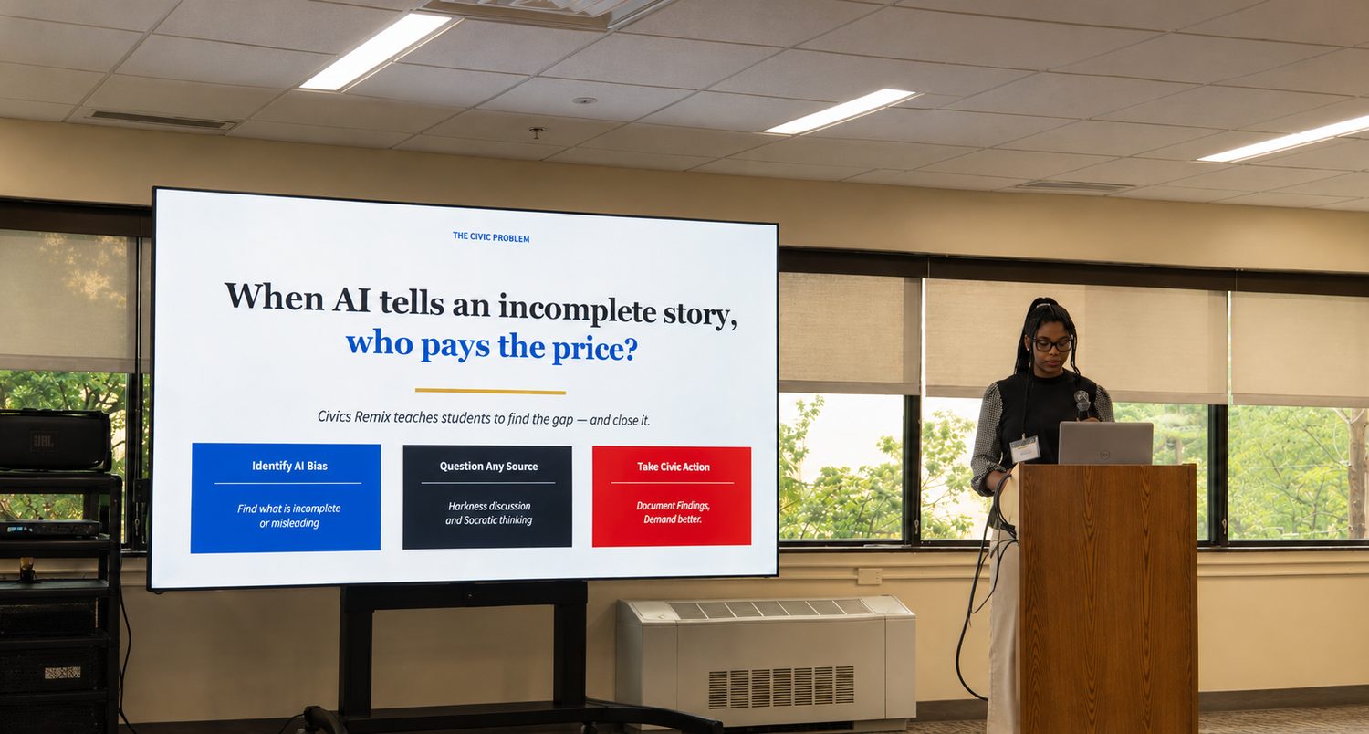
Founder-led · fellow-built
Isabella Getahun teaching the Civics Remix Filters, the inquiry method she designed to help fellows turn AI’s blind spots into civic evidence.
Learn more about Isabella’s approach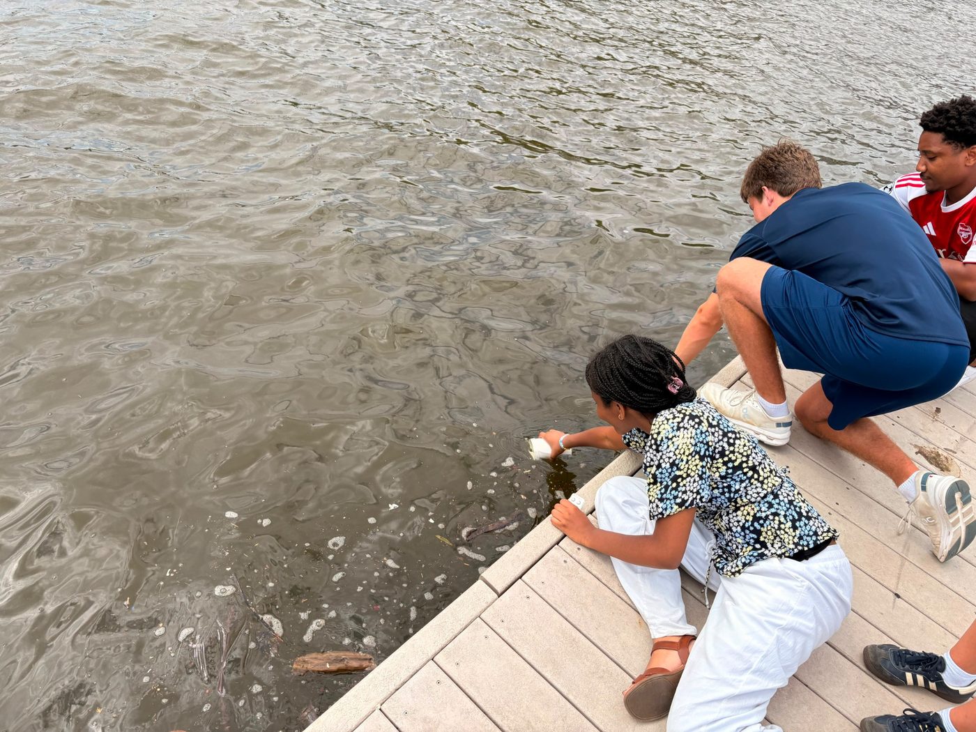 Field record 02 · River observation
What the fellows found
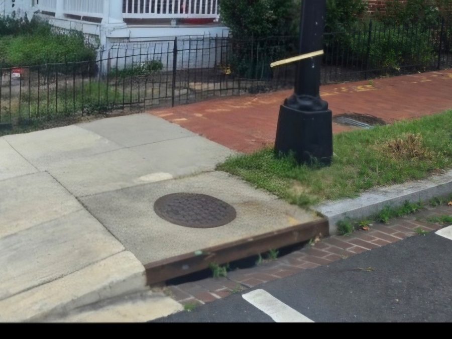
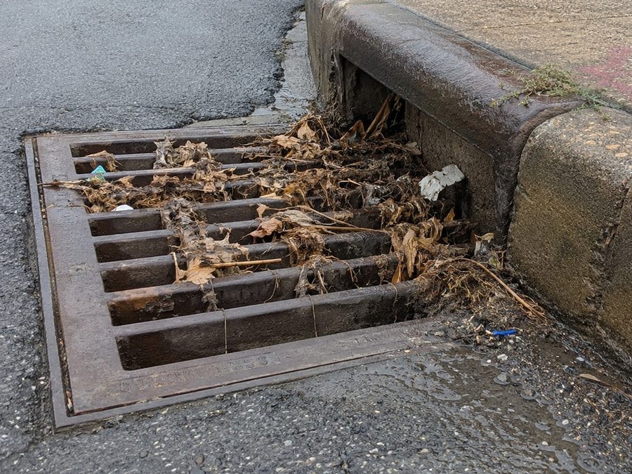
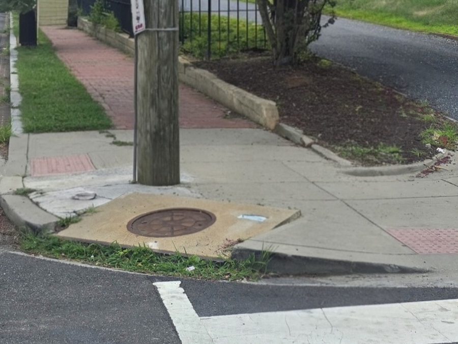
Models can only work with the conditions they are given. In the field, fellows documented drainage openings with grass and debris growing across them—street-level conditions invisible from above.
Field method · condition index
Fellows created a fragility index for certain drains from observed street conditions. These focused photographs preserve the field condition attached to each ranking; they are not predictions of future flooding.
 Founder-led · fellow-built
The people behind the public record
Isabella Getahun laid the architecture for the AI Ethics Lab. Ali Malik, Program Director, made it real with the fellows. Together, the group moved from a question about AI’s stories to research artifacts, public comments, FOIA requests, and findings they could defend.
Meet Civics RemixKeep the record moving
A contribution supports the practical conditions for youth inquiry: session materials, Harkness dialogue, fieldwork supplies, and the public artifacts that carry fellow learning beyond the room.
AI governance and civic learning: Yvette Bourcicot, William Hutchuson, and Shira Griffith. Water science and river history: Dr. Tolessa Deksissa, Trey Sherard, James Connolly, and Jenna Burnett. Field learning: Dr. Dave Padgett, EarthEcho International, and Shannah Cumberbatch. Community support: Yamrot Ezineh, Joe Mamo, Papa Ndiaye, Jon Wilson, Dianna Campagna, Springland Farm, and Mary Tanouye.